
Routes & Itineraries
Halmahera Loop: A Two-Week Route Through North Maluku
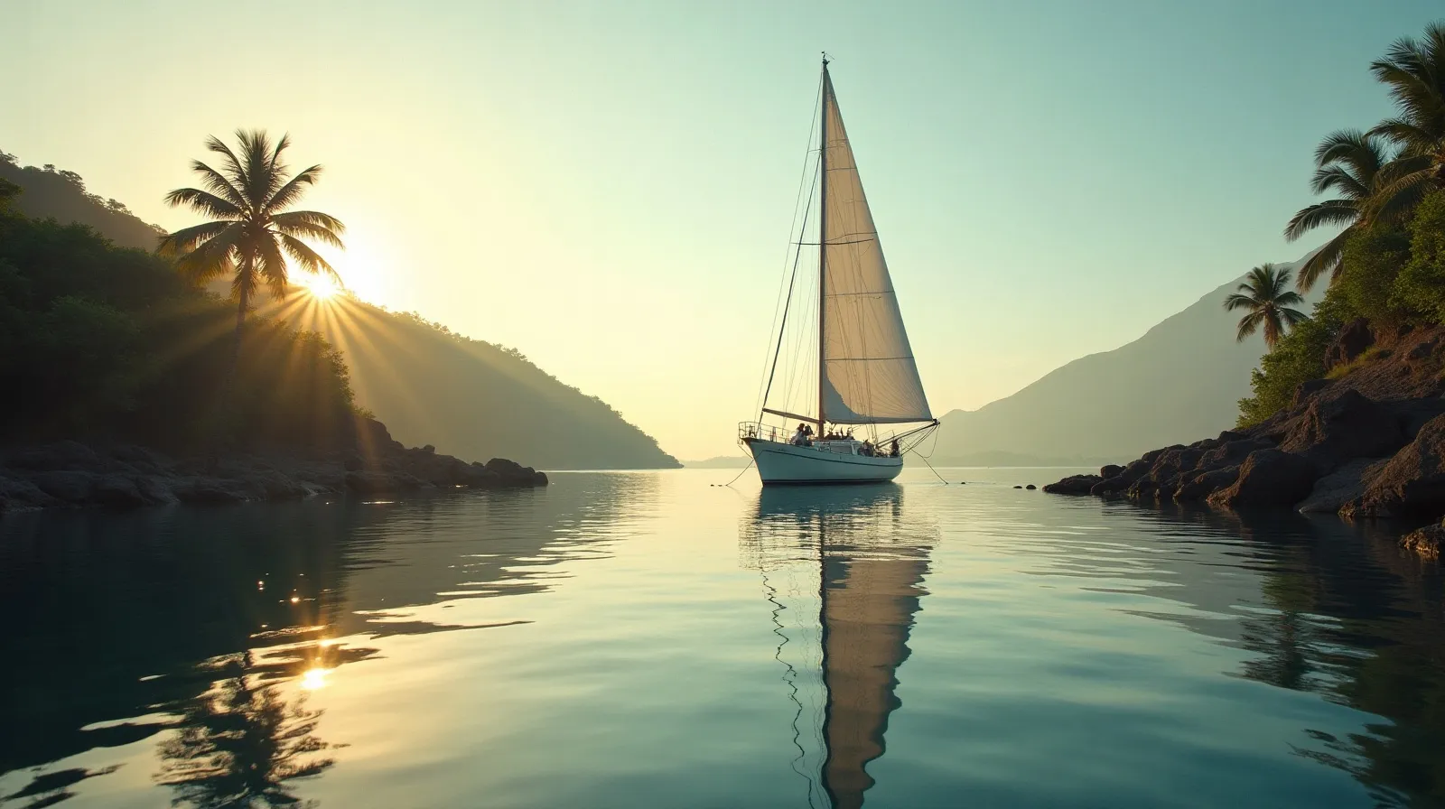
Halmahera is the largest island in Maluku and the least charted charter ground in Indonesia’s north — a two-week loop of volcanic bays, clove-scented sultanate towns and reef systems that dive boats have barely named. The loop stages from Ternate, the historic spice capital with daily jet service, and belongs to crews who want the planner’s frontier-north routing without crossing to Papua.
The loop, leg by leg
| Leg | Distance | Notes |
|---|---|---|
| Ternate → Jailolo | ~25 nm | Sultanate town, volcano backdrop, market |
| Jailolo → Loloda islets | ~45 nm | Uninhabited karst, virgin reef |
| Loloda → Morotai | ~70 nm | WWII wrecks and airstrips, Dodola sandbar |
| Morotai → Kao Bay | ~55 nm | Sheltered gulf, wreck of Tosimaru |
| Kao → Goraici islands | ~80 nm | South via Patinti strait, island chain |
| Goraici → Ternate | ~50 nm | Return via Makian and Moti volcanoes |
Total distance runs about 325 nm — comfortable across 12–14 days with layover days at Morotai and the Goraici chain. Everything between Ternate and Morotai is drum-fuel-only territory, so tankage discipline from the remote fuel stops guide applies throughout.
Spice history you can walk
Ternate and neighbouring Tidore were the original spice islands — the world’s only clove source until the eighteenth century — and their volcanic cones are terraced with Portuguese, Spanish and Dutch forts stacked like geological layers. Fort Oranje and the sultan’s palace in Ternate town make the natural first-day shore programme while crew complete clearance; Jailolo across the strait adds a working spice market where nutmeg, clove and cinnamon are still farmgate commodities.
Morotai and the northern reefs
Morotai — the Allied staging base for the Philippines campaign — layers history over white sand: airstrip remains, landing-craft wrecks in diveable depths, and the photogenic Dodola sandbar connecting two islets at low tide. The surrounding reefs and the uninhabited Loloda karst chain to its southwest are the loop’s marine core: healthy coral, pelagic passes and effectively zero dive pressure. Conditions are gentler than the famous eastern straits — comparable notes for wilder water live in the Alor expedition brief.
Season, vessel and cost note
North Maluku sits near the equator, softening both monsoons: March–June and September–November are the settled windows, and even mid-year trades leave the western bays workable. The loop wants a long-range phinisi or expedition motor yacht with two weeks’ autonomy; bands run USD 4,000–14,000 per day whole-boat with fuel-weighted APA. Charters often position onward south to the Banda Sea or east toward the Bird’s Head, making Halmahera the hinge of a month-long Maluku–Papua season.
The marine layer: reefs nobody has counted
Halmahera’s underwater estate is the loop’s sleeper asset. The Loloda islets’ fringing reefs run unbroken for miles at snorkel depth; Kao Bay’s sheltered gulf holds the Tosimaru wreck upright and diveable; Morotai’s northern points carry pelagic traffic — trevally walls, occasional hammerheads — with the archipelago’s least dive pressure; and the Goraici chain’s channels concentrate fish life the way famous parks do, minus the moorings, the fees and the other boats. Nothing is charted for diving in the professional sense: your divemaster reads the water, drops a scout, and names the site in the log afterwards. For crews who find that thrilling rather than inconvenient, North Maluku is the last major Indonesian archipelago where exploration is the default mode.
The volcanic overlay gives the loop its drama — Dukono smoking continuously on northern passages, Ibu’s lava dome glowing some nights, and the perfect cones of Tidore and Makian bracketing the southern legs. Passages time around the straits’ tidal gates, and anchorages are volcanic-shelf or bay-mud, all of it standard work for crews with eastern experience.
Practical notes for the Halmahera loop
- Staging: daily jets to Ternate; the vessel provisions at its market — one of Indonesia’s best — before departure.
- Fuel: Ternate and (modestly) Tobelo near Morotai; drum arrangements elsewhere. Tankage for the full loop is the safe assumption.
- Clearance: Ternate’s syahbandar for the loop; Morotai has its own post for northern entries.
- Volcano watch: Dukono’s ash plume is a real routing input — crews check advisories and stay upwind.
- Village calls: Muslim kampungs throughout — modest dress, Friday timing awareness, purchases over gifts.
- Weather: near-equatorial calm most of the year; squall lines cross fast and pass faster.
- Onward: south to the Banda Sea in its windows, or east toward the Bird’s Head for a full Maluku–Papua season.
The loop’s summary is simple: Raja Ampat’s latitude, a spice capital’s history, and a charter density of approximately zero — the connoisseur’s answer for a second or third Indonesian expedition.
A final planning thought: Halmahera suits crews who have already sailed a marquee region and know their own rhythm. The loop offers no safety net of nearby operators or established moorings — and precisely because of that, it returns the archipelago as it was before itineraries existed: harbours that receive a yacht as news, reefs that receive divers as firsts, and a fortnight that feels genuinely like discovery rather than repetition. For the right party, that is the entire brief.
Quick answers
How long does the Halmahera loop take?
Twelve to fourteen days for the full 325 nm circuit from Ternate via Morotai and the Goraici islands, with layover days built in. Shorter west-coast-only versions run seven to eight days.
What is the season for North Maluku cruising?
March–June and September–November are the calm windows; the near-equator position softens both monsoons, and western bays stay workable most of the year.
What makes Halmahera different from other routes?
Almost zero charter traffic across genuine variety: sultanate spice towns, WWII wrecks at Morotai, uninhabited karst chains and unnamed reefs — with daily jet access via Ternate.
Related briefs
Continue with The Togean Islands by Yacht and Indonesia’s Northern Frontier Waters.
Planning a charter around this? Message the Indonesia Yacht Charter desk on WhatsApp +62 811-3941-4563 or email [email protected] for routes, vessels and honest USD quotes within 48 hours.
Chart your Indonesian passage
Tell us your dates, group and the water you want under the keel. The desk replies on WhatsApp with routes, vessels and an honest USD quote.