Routes & Itineraries
Crossing the Flores Sea: Weather Windows and Night Watches
The Flores Sea is the water most Indonesian charter guests actually cross without noticing: every Bali–Komodo one-way, every Sulawesi–Komodo repositioning and every route linking the west to the Banda Sea takes a piece of it. It is not the wildest sea in the archipelago, but it is open water measured in overnight passages, and the way captains handle it — windows, watches, squall tactics — is a compact lesson in how all planner-grade Indonesian routing works.
The two crossing lines
| Line | Legs | Distance | Exposure |
|---|---|---|---|
| Southern (Bali–Komodo) | Bali → Moyo → Satonda → Labuan Bajo | ~250 nm | Island-hopping; longest open leg ~70 nm |
| Northern (Sulawesi line) | Makassar/Selayar → Komodo or Maumere | ~180–220 nm | True open crossing, 1–2 nights |
The southern line is the one sold as an itinerary — Moyo’s waterfalls and Satonda’s crater lake break it into day legs. The northern line is a delivery passage: Selayar’s south cape to the Komodo gate in one or two overnight runs, with Taka Bonerate’s atolls as the optional mid-sea reward.
Reading the windows
In the southeast season (May–September) the Flores Sea runs 1–1.5 m on the trade swell with reliable afternoon reinforcement — passages go west-to-east with the wind astern and are timed to arrive at anchorages before the afternoon breeze peaks. In the northwest season (December–February) the sea state flips: squall lines with 35-knot gusts cross the basin, and captains stage between them using satellite imagery, hopping when a 36-hour window opens. The transition months — April–May, October–November — are the glassiest of all and the professional’s preference for long repositioning.
Night watches: what actually happens
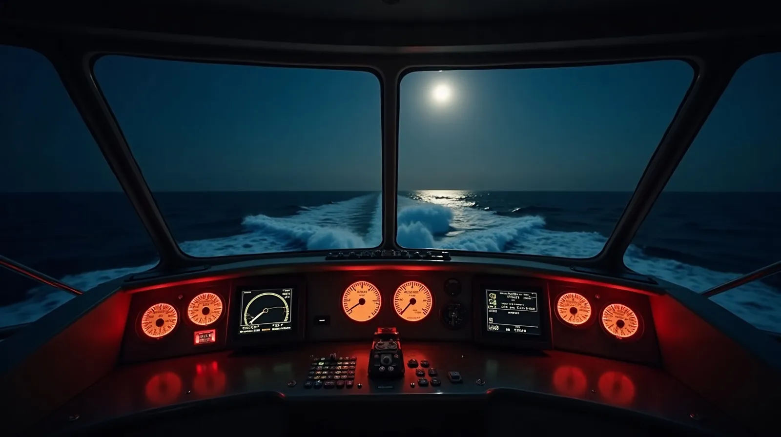
Crewed vessels run formal watch rotations — typically two-hour helm tricks with a second crew on lookout — while guests sleep or sit the early watch for the experience. The working hazards are not weather but traffic and gear: unlit fishing platforms (rumpon), longline floats, and local boats running dark. Radar plus a bow lookout is the standard answer, and the reason professional crews slow down rather than press on moonless nights. Guests who stay up get the archipelago’s best sky; the tooling behind the forecast calls is covered in the satellite weather page.
Cost note and route pairings
Crossings are usually embedded in one-way charters — Bali–Labuan Bajo runs price the repositioning into the rate or add a one-way fee of roughly 10–20%. The southern line pairs with Sumba’s north shore as a wilder alternative finish; the northern line is the gateway to Selayar and Taka Bonerate for crews who want atolls no one else visits. Either way, the crossing is where a charter stops being a hotel that moves and becomes a voyage.
The middle-sea rewards: Moyo, Satonda and Taka Bonerate
What keeps the crossing from being mere transit is its stepping stones. On the southern line, Moyo island’s Mata Jitu waterfall — terraced pools in jungle a short trek from the anchorage — and Satonda’s crater lake, a sea-filled caldera ringed by forest, convert two passage days into the itinerary’s photographs. Both anchor comfortably in the trade season’s lee, and both remain quiet because they belong to no marquee park. On the northern line, Taka Bonerate — Indonesia’s largest atoll system, third-largest on earth — is the reward for taking the delivery route: a lagoon complex the size of a regency with a handful of research stations, Bajo settlements and reef flats that see divers a few weeks a year. Vessels time the Selayar departure to arrive at the atoll’s western passes in morning light, spend a day or two inside, and continue south with the crossing’s hardest miles already behind.
Both lines share the crossing’s real gift: the passage itself. A night at sea in the trades — phosphorescence in the wake, the Southern Cross over the bow, the watch rhythm ticking — converts more guests to expedition charterers than any reef does.
Practical notes for the Flores Sea
- Timing: west-to-east with the SE trades May–September; transitions for glassy repositioning; December–February only between squall systems.
- Fuel: Bali, Labuan Bajo and Makassar bracket the sea; Moyo and Satonda have nothing — plan accordingly.
- Hazards: unlit rumpon fishing platforms and drifting longlines — radar plus bow watch at night, speed reduced on moonless passages.
- Comfort: brief guests on the one long leg honestly; seasickness protocols before dinner, cabins amidships for sensitive sleepers.
- Taka Bonerate: park fees apply; entries through the western passes in good light only — the lagoon is a chart-and-eyeball exercise.
- Fallbacks: Bima and Selayar’s ports are the mid-sea shelters when windows close early.
Treat the Flores Sea as an itinerary chapter rather than a gap between destinations and it repays the respect — which is the crossing’s lesson in miniature for the whole archipelago.
Quick answers
How long does the Bali to Komodo crossing take?
The 250 nm southern line runs three to five days with stops at Moyo and Satonda, or 30–36 hours direct for repositioning. Most itineraries break it into day legs with one short overnight.
Is the Flores Sea rough?
In season it runs a modest 1–1.5 m trade swell; December–February brings squall lines with strong gusts that captains stage around using satellite forecasts. Transition months are often glassy.
Can guests do night watches on a crewed charter?
Yes — crews welcome guests on the early watch under supervision while the professional rotation runs the vessel. Radar and bow lookouts manage the real hazards: unlit fishing gear and dark-running local boats.
Related briefs
Continue with Provisioning Stops Across the Archipelago and Reading Indonesia’s Two Seasons.
Planning a charter around this? Message the Indonesia Yacht Charter desk on WhatsApp +62 811-3941-4563 or email [email protected] for routes, vessels and honest USD quotes within 48 hours.
Chart your Indonesian passage
Tell us your dates, group and the water you want under the keel. The desk replies on WhatsApp with routes, vessels and an honest USD quote.