
Routes & Itineraries
Anambas and Natuna: Indonesia’s Northern Frontier Waters
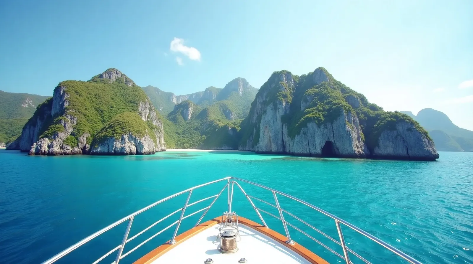
The Anambas and Natuna archipelagos sit alone in the South China Sea between the Malay Peninsula and Borneo — Indonesian territory closer to Singapore than to Jakarta, and the only charter ground in the country accessed from the north. Think granite boulders over turquoise lagoons in the Seychelles manner, empty except for scattered fishing kampungs. In the planner’s frontier-north table they form a route unlike anything in the main archipelago.
Access and route shape
| Leg | Distance | Notes |
|---|---|---|
| Batam/Bintan → Anambas (Terempa) | ~150 nm | Open-water overnight from the Singapore strait |
| Terempa → Bawah & southern lagoons | ~30 nm | The archipelago’s postcard atolls |
| Anambas circuit | 60–90 nm | Penjalin, Durai turtle beaches, granite coves |
| Anambas → Natuna (Ranai) | ~130 nm | Optional extension, bigger granite, fewer boats |
Most charters stage from Batam or Bintan (a ferry ride from Singapore), clearing at Terempa in the Anambas. Natuna, another overnight northeast, has its own airport at Ranai for one-way routings.
What the frontier looks like
Anambas is the scenic core: Bawah’s five-island atoll (now home to a private resort, with anchorage-by-arrangement nearby), Penjalin’s granite amphitheatre beach, and Durai where green turtles nest year-round. Natuna scales everything up — hundred-metre granite domes at Bunguran’s north coast, cave systems, and reef flats that have never seen a dive slate. Between them lie banks and drop-offs fished by kampung fleets and nobody else. Cellular coverage is thin; this is disconnect-by-design cruising.
Weather logic: a different calendar
These are South China Sea waters, so the calendar inverts the Indonesian norm: the northeast monsoon (December–February) is the rough season with 2–3 metre seas, and the transition windows — March–May and September–October — are prime, with the southwest monsoon months in between workable in the islands’ lee. Squall lines cross fast year-round; the forecasting discipline in the satellite weather guide matters more here than anywhere in the south.
Season, vessel and cost note
March–May and September–October give the flattest lagoons. The 150 nm approach and the absence of marine support beyond Terempa demand crewed vessels with real range — motor yachts and expedition boats out of Singapore dominate, joined by a handful of Indonesian phinisi repositioning north. Bands run USD 4,000–18,000 per day whole-boat with fuel-heavy APA. For crews comparing frontier options, the closest southern analogue in emptiness is the Kei–Aru far east — but Anambas alone offers it four hours from Singapore.
What to actually do there: the frontier programme
The Anambas programme is built on water clarity and granite. Days rotate between lagoon anchorages — Bawah’s five-island atoll being the flagship room — snorkel drifts over boulder gardens where the visibility routinely exceeds 25 metres, beach landings on sand that sees no footprints between fishing crews, and Durai’s turtle programme, where greens nest year-round and hatchling releases happen most weeks in season. Fishing is the region’s quiet excellence: the banks between the archipelagos carry pelagic traffic — wahoo, tuna, sailfish — that makes trolling on passage genuinely productive rather than decorative. Natuna scales the same ingredients up: Bunguran’s north-coast granite domes are landscape photography at Seychelles grade, the Senua and Sahi islets hold reef flats no operator has named, and the sense of edge — Indonesia’s last islands before open South China Sea — is itself the product.
Village calls follow Malay-coast customs: kampungs here are Riau-Malay fishing communities, conservative and warm, where the crew-first introduction and modest dress rules apply exactly as anywhere east. The regional economy runs on fish and (at Natuna) the gas fields over the horizon; yachts remain rare enough to be an event.
Practical notes for the northern frontier
- Clearance: Terempa (Anambas) and Ranai (Natuna) both process port formalities; agents smooth the Singapore-side departure paperwork.
- Fuel: drum service at Terempa and Ranai — order ahead; there is nothing between.
- Provisioning: basic markets at both capitals; hub-load in Batam/Bintan and treat local stops as fish-and-produce top-ups.
- Weather: squall lines cross fast year-round — the satellite-forecast discipline matters here more than anywhere south.
- Connectivity: workable cellular near the capitals, none in the outer lagoons.
- Charts: soundings are sparse in the outer groups — eyeball navigation and a bow watch on lagoon entries.
For Singapore-based charterers the arithmetic is disarming: the region’s emptiest world-class cruising ground starts one overnight from the world’s busiest port — and almost nobody makes the crossing.
The strategic summary for planners: Anambas–Natuna is the only Indonesian cruising ground that works as a short-haul escape from Singapore’s calendar — a genuine frontier reachable on a Friday night departure. That accident of geography, combined with water quality the equal of far more famous coordinates, makes it the most under-used route in this planner, and the one most likely to surprise charterers who assumed they had seen what the region offers.
Quick answers
Where are the Anambas Islands?
In the South China Sea between the Malay Peninsula and Borneo — Indonesian territory about 150 nm northeast of Bintan, closer to Singapore than to any major Indonesian city.
When is the best season for Anambas and Natuna?
March–May and September–October, the monsoon transitions, give the calmest lagoons. December–February’s northeast monsoon brings the rough season, the opposite calendar from southern Indonesia.
How do charters reach Anambas?
Vessels stage from Batam or Bintan near Singapore and make the 150 nm overnight to clear at Terempa. Natuna extensions add another 130 nm northeast, with Ranai’s airport enabling one-way routes.
Related briefs
Continue with Ambon to Banda and Weather Windows and Night Watches.
Ready to turn this into a real itinerary? Message the Indonesia Yacht Charter desk on WhatsApp +62 811-3941-4563 or email [email protected] for routes, vessels and honest USD quotes within 48 hours.
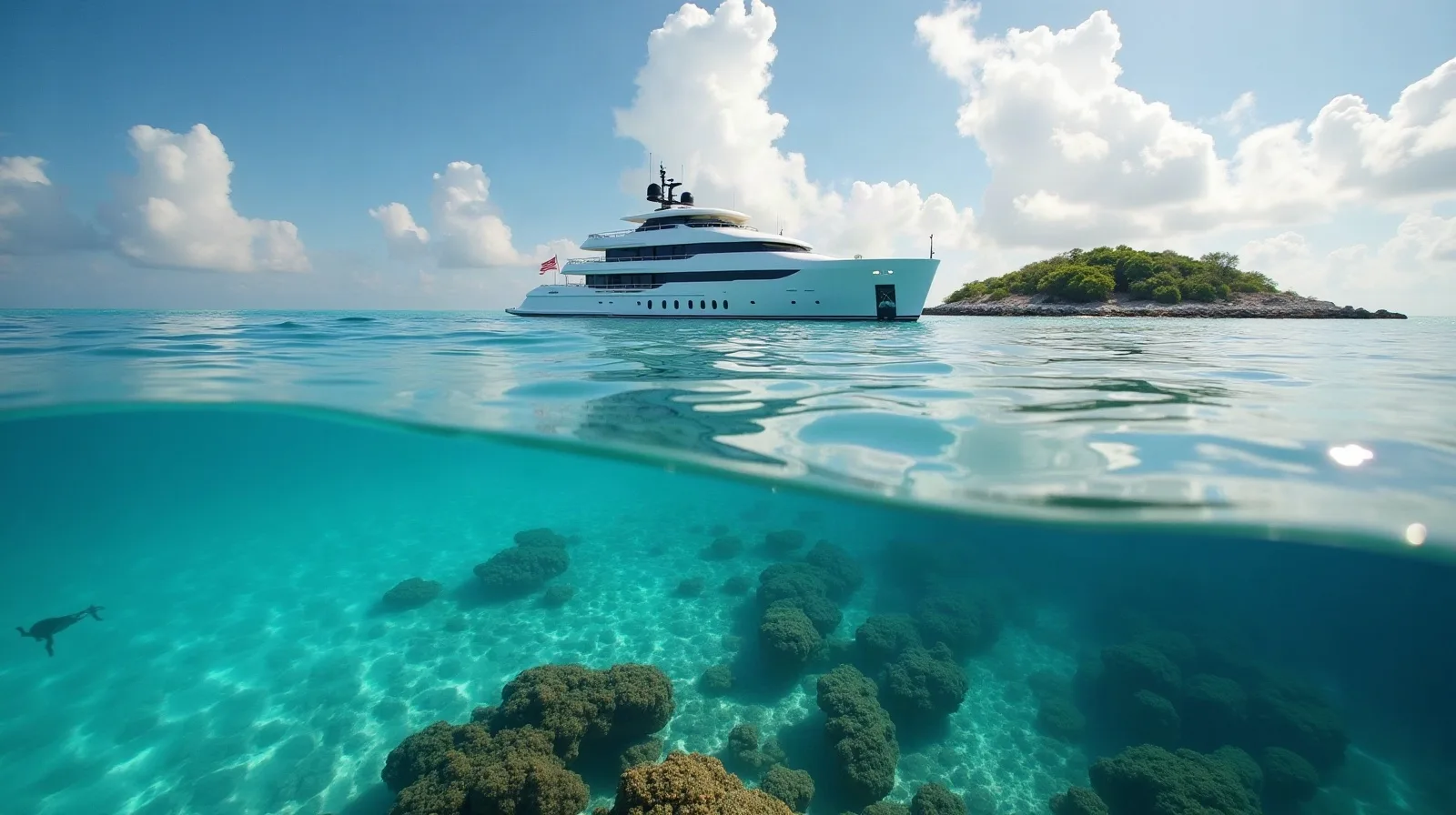
Chart your Indonesian passage
Tell us your dates, group and the water you want under the keel. The desk replies on WhatsApp with routes, vessels and an honest USD quote.