
Routes & Itineraries
Sumba by Sea: Wild Coastlines Beyond the Resort Strip
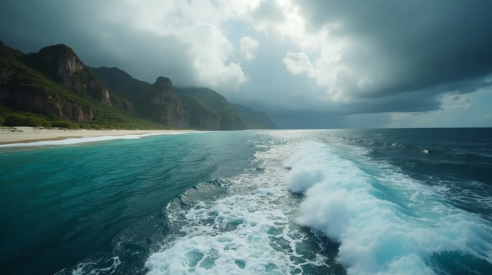
Sumba is the island Indonesian charter routes sail past — and that is precisely its value. South of the Flores lane, it offers a hundred-mile north shore with empty roadsteads, a west coast of world-class surf, and a megalithic culture found nowhere else in the archipelago. As a route it works as a 4–7 day diversion off the Bali–Komodo line, planned against the Sumba and Sumbawa legs of the planner.
Route shape: the north shore run
| Leg | Distance | Anchor | Character |
|---|---|---|---|
| Moyo (Sumbawa) → Waikelo | ~65 nm | Port roadstead | Landfall, clearance, fuel by drum |
| Waikelo → Memboro | ~30 nm | River-mouth bay | Horse country, savannah hinterland |
| Memboro → Puru Kambera | ~45 nm | Casuarina beach | Empty white-sand miles |
| Puru Kambera → Melolo | ~25 nm | Village roadstead | Megalithic tombs of East Sumba |
The north shore is the lee shore in the May–September trade season: anchorages are open roadsteads rather than enclosed bays, comfortable in settled southeast weather and untenable in the northwest monsoon. That single fact sets Sumba’s season.
The west coast: surf by boat
Sumba’s southwest — Nihiwatu’s wave (Occy’s Left), Miller’s Right, and a dozen unnamed reef passes — is serious surf territory where boat access solves what land access cannot: swell-exposed breaks with no roads, no crowds and no accommodation. Surf charters stage out of Waikelo, work the coast on the May–September south swell, and anchor behind headlands between sessions. This is exposed-ocean work for experienced crews; the comparable wild-coast logic applies on the Kei and Aru far-eastern route.
Ashore: the megalith culture
Sumba’s interior villages — Ratenggaro’s towered roofs in the southwest, the royal tombs at Melolo in the east — practice a living megalithic tradition: clan houses, carved stone graves, and the Marapu ancestral religion. From a yacht, the practical access is a vehicle day arranged from Waikelo or Melolo; go with a local guide, bring betel nut as the customary greeting gift, and treat photography as something to ask about, not assume — the ground rules in the village protocol guide apply doubly in ritual sites.
Season, vessel and cost note
May–September is the season: trade-wind lee on the north shore, south swell for the surf coast. Vessels need genuine range — fuel is drum-only at Waikelo, and there is no marine support between Sumbawa and Kupang. Phinisi and expedition motor yachts fit; bands run USD 2,500–9,000 per day whole-boat with expedition-weighted APA. Sumba pairs naturally with Moyo and Satonda northbound, or continues east toward Savu and Rote for crews chasing genuinely empty water.
Reading Sumba’s coast: swell, anchorages and the art of the roadstead
Sumba demands roadstead seamanship — the nearly lost art of anchoring on open coasts. The north shore’s anchorages are all partial shelter: headland hooks, river-mouth bights and reef lees that damp the trade swell without removing it. Crews set long scope on sand at eight to fifteen metres, rig flopper-stoppers where fitted, and plan every stop with an exit bearing, because a wind shift onto the shore converts a calm night into a weigh-anchor drill. The south and west coasts are another category entirely: true ocean coast, surfable precisely because it is exposed, workable only in settled spells and never for overnight anchoring. The practical consequence is a route that lives on the north shore and raids the south by vehicle or, in the calmest windows, by fast tender.
None of this is hardship — it is the price of a coast without infrastructure, and the reason Sumba’s anchorages hold no other boats. The island’s interior compensates ashore: hilltop megalith villages an hour’s drive from Waikelo, ikat weaving in the east, and the March Pasola season when horseback ritual combat fills the west’s field calendars.
Practical notes for the Sumba leg
- Season: May–September only for the north-shore route; the northwest monsoon puts the whole shore on a lee.
- Fuel: drum fuel at Waikelo arranged through agents; nothing east until Ende or Kupang.
- Provisioning: Waikelo and Waingapu markets cover basics; load specialty stores in Bali or Labuan Bajo.
- Vehicle days: arrange cars through the harbour agents a day ahead; megalith villages expect a guide and betel-nut courtesy.
- Surf logistics: south-coast raids need a settled 48-hour window and an experienced tender crew; the wave rewards it.
- Wildlife note: Sumba’s sandalwood ponies swim at Puru Kambera’s beach some mornings — the coast’s best photograph.
Sumba filters its visitors by effort, which is exactly why it delivers: crews that master the roadstead rhythm get a hundred-mile coast, a living megalithic culture and world-class surf entirely to themselves.
Quick answers
Can you visit Sumba by charter yacht?
Yes — the north shore offers a chain of roadstead anchorages from Waikelo to Melolo, best in the May–September southeast trade season. It works as a 4–7 day diversion off the Bali–Komodo route.
Is there surf charter potential in Sumba?
Sumba’s southwest coast holds world-class reef breaks including Occy’s Left, most reachable only by boat. Surf charters run on May–September south swells staging from Waikelo.
What is special ashore in Sumba?
A living megalithic culture: clan villages with towered roofs, carved stone tombs and the Marapu ancestral religion. Vehicle days from Waikelo or Melolo reach the key villages with a local guide.
Related briefs
Continue with Triton Bay Route Notes and Timing the Whale Shark Aggregation.
Take the next step with a working desk. Message the Indonesia Yacht Charter desk on WhatsApp +62 811-3941-4563 or email [email protected] for routes, vessels and honest USD quotes within 48 hours.
Chart your Indonesian passage
Tell us your dates, group and the water you want under the keel. The desk replies on WhatsApp with routes, vessels and an honest USD quote.