
Routes & Itineraries
Satellite Weather at Sea: Forecast Tools for Indonesian Passages
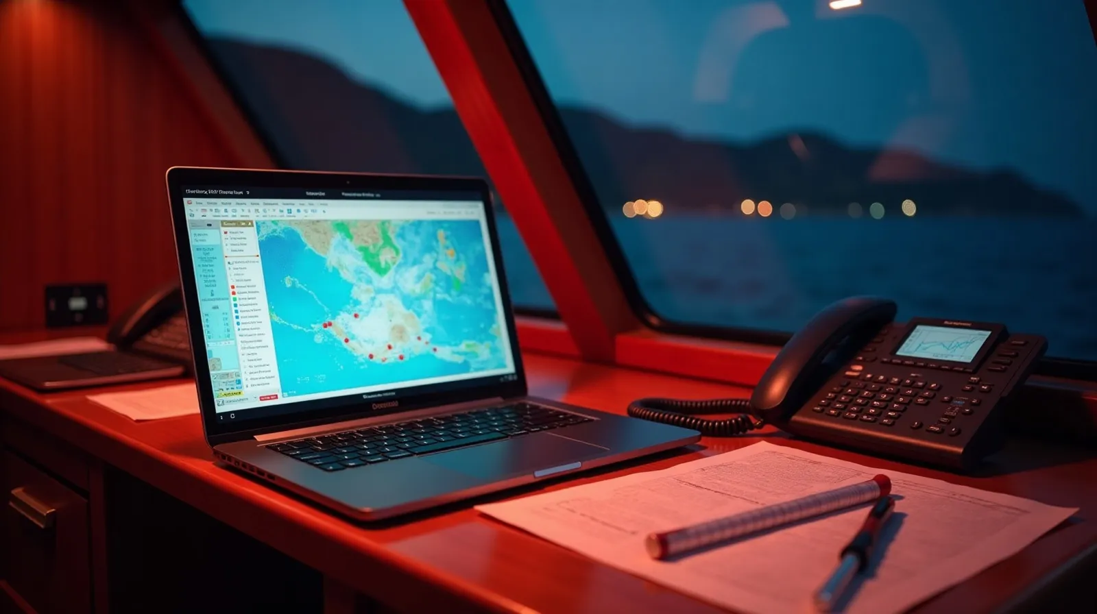
Indonesian passage weather is a modelling problem the global forecast products only half solve: the archipelago’s 17,000 islands generate local effects — strait accelerations, land-breeze cycles, convective squalls — that run underneath the clean arrows of a GRIB file. Professional crews therefore run a layered toolchain, and understanding it explains the confidence behind every weather call on the planner’s route legs.
The working toolchain
| Layer | Tools | What it answers |
|---|---|---|
| Global models | ECMWF & GFS via Windy/PredictWind | Synoptic wind, swell, 5–7 day shape |
| Regional/local | BMKG marine forecasts, maritime warnings | Indonesian seas area forecasts, official warnings |
| Nowcasting | Himawari satellite imagery, radar where available | Squall lines in the next 2–6 hours |
| Ground truth | Barometer, sky, AIS chatter, fishing fleet behaviour | What the models missed |
The professional habit is running two global models and treating disagreement as information: when ECMWF and GFS diverge over the Banda Sea, the answer is a wider margin, not a coin flip.
What models get wrong here
Three systematic gaps. Strait acceleration: tidal channels like Lombok’s and Alor’s add 10–15 knots over gradient wind and their own steep sea — charted knowledge, not forecast output. Diurnal cycles: land and sea breezes dominate light-gradient days, so mornings are flat and afternoons breezy regardless of what the GRIB says. And convection: the towering squalls of the northwest season are sub-grid events — models show “chance of storms” while the satellite loop shows the actual line 40 miles upwind. That is why nowcasting matters more in Indonesia than in trade-wind oceans, a theme the Flores Sea crossing page works through in passage terms.
Connectivity: how the data gets aboard
Starlink has rewritten this layer — most serious charter vessels now pull full-resolution model runs and live Himawari loops mid-passage, with Iridium as the fallback for compressed GRIBs when the dish is down. Coastal cellular (Telkomsel reaches surprisingly far offshore near populated islands) fills the gaps. The change is operational, not cosmetic: captains now re-run routing decisions every six hours in open water, where five years ago a departure forecast had to last the whole crossing.
Squall tactics, in brief
The standard Indonesian squall is violent and brief: a 30–60 minute line with gusts to 35–40 knots, a wind shift, rain that flattens the sea, then stars. Tactics are correspondingly simple — see it early on satellite or radar, shorten sail or slow down, take the shift on the bow, and never anchor-drag through one on a lee shore. Guests experience squalls as theatre precisely because crews treat them as routine; the margin was built into the passage plan days earlier. That margin — not any single forecast — is the real tool.
A worked example: calling a Banda window
Watch the toolchain operate on the season’s hardest call — committing a vessel to the Banda crossing. Ten days out, the captain is watching model agreement: ECMWF and GFS both showing the trade flow collapsing over the Banda basin, the swell forecast decaying below 1.2 metres for a five-day span. Seven days out, BMKG’s seas-area forecasts join the picture and the departure port is chosen — Ambon if the northern line, Kalabahi if the chain. Seventy-two hours out, the decision point: models still agreeing, no convective clusters upstream on the Himawari loop, window confirmed to guests and provisioning locked. At sea, the rhythm becomes six-hourly: fresh GRIBs over Starlink at watch changes, the satellite loop before each night’s run, and the barometer log kept by hand because instruments fail and habits should not. When a squall line does appear — it usually does, somewhere in a five-day window — it is a nowcasting event: seen 40 miles out, timed, and taken on the bow with sail shortened, exactly as briefed.
The example generalises to every Indonesian passage: long-range models pick the week, regional forecasts pick the day, satellite nowcasting runs the hours, and seamanship absorbs whatever slips through. No single layer is trusted alone — which is the entire method.
Practical notes for weather-aware guests
- Ask to see the routing decision — good captains enjoy explaining the model screens, and it builds trust for the one day plans change.
- Windows are commitments both ways: a captain who delays departure is spending your comfort budget wisely.
- Squalls are scheduled entertainment: 30–60 minutes, dramatic, over — the briefing beforehand is what safety looks like.
- Connectivity riders: Starlink vessels can pull forecasts for your onward flights too — ask the bridge, not your phone.
- The barometer habit: three millibars in three hours means the crew is already moving; guests need only watch.
- Season context: transition months forgive forecast error; monsoon edges do not — which is why itineraries carry flex days.
Weather literacy is the easiest meaningful upgrade in expedition chartering: the same sky, read well, turns from anxiety into the voyage’s running commentary.
Quick answers
What weather apps do Indonesian charter crews use?
Windy or PredictWind for ECMWF and GFS models, BMKG’s official marine forecasts, and Himawari satellite loops for squall nowcasting — layered, never single-source.
Is Starlink common on Indonesian charter yachts?
Increasingly standard on expedition vessels: it enables full model runs and live satellite imagery mid-passage, with Iridium as fallback. Routing decisions now update every few hours at sea.
How accurate are forecasts for Indonesian waters?
Good at the synoptic scale, weak on local effects: strait accelerations, land-breeze cycles and individual squalls run below model resolution. Crews bridge the gap with nowcasting and local knowledge.
Related briefs
Continue with Building a 30-Day Archipelago Route and 7, 10 and 14-Day Route Frameworks.
Planning a charter around this? Message the Indonesia Yacht Charter desk on WhatsApp +62 811-3941-4563 or email [email protected] for routes, vessels and honest USD quotes within 48 hours.
Chart your Indonesian passage
Tell us your dates, group and the water you want under the keel. The desk replies on WhatsApp with routes, vessels and an honest USD quote.