
Routes & Itineraries
The Forgotten Sulawesi Coast: Routes North of Makassar
Sulawesi’s west coast is the archipelago’s forgotten seaboard: 500 nm of the Makassar Strait between the city that built the phinisi and the gulf that hides the Togeans, sailed by cargo schooners and almost no charter yachts. For crews repositioning north — or anyone wanting Indonesia without another yacht on the horizon — it is the connective route the planner’s Sulawesi section quietly relies on.
Makassar: start at Paotere
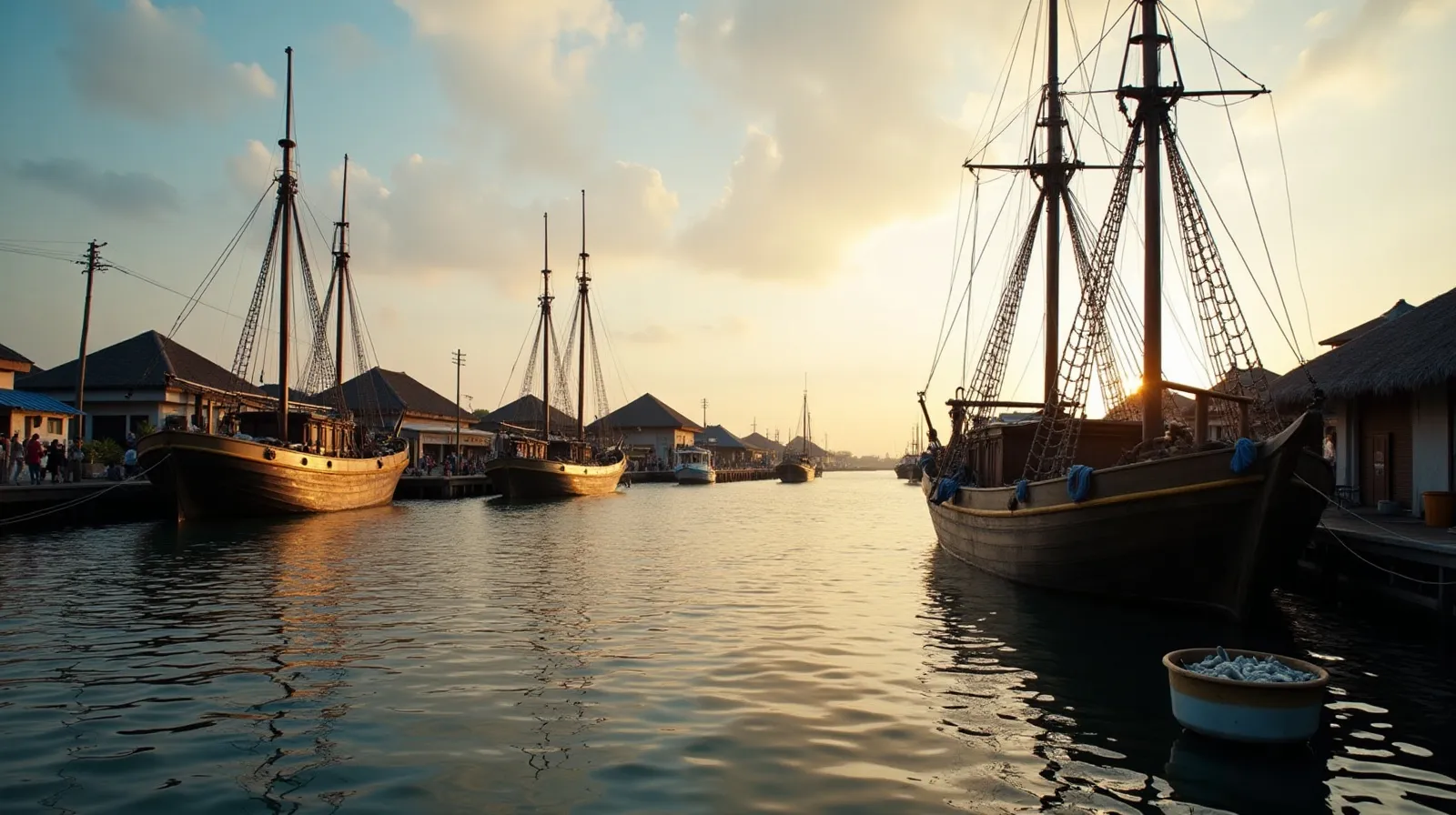
Begin where the wooden ships still work. Paotere harbour, north of Makassar’s container port, moors dozens of pinisi-lineage cargo schooners stern-to — hulls the size of the charter fleet’s finest, hand-built in Bulukumba’s yards down the coast and still carrying freight to Kalimantan. Dawn at Paotere, with fish auctions on the quay and crews sluicing decks, is the best free maritime museum in Indonesia and the right cultural key for the coast ahead. Makassar itself is a full provisioning hub — the last one before Donggala, 400 nm north.
The coast, leg by leg
| Leg | Distance | Notes |
|---|---|---|
| Makassar → Barru coast | ~50 nm | Reef fringe anchorages, Bulukumba lineage yards south |
| Barru → Polewali | ~70 nm | Mandar sailing heartland — sandeq outriggers |
| Polewali → Majene → Mamuju | ~90 nm | Deepwater bays, town anchorages |
| Mamuju → Donggala/Palu | ~110 nm | The long empty leg; Donggala’s old port |
| Donggala → rounding to Togeans | ~180 nm | North about via the Sulawesi Sea into Tomini |
The strait is deep, largely reef-free by Indonesian standards, and rich in one specific sight: sandeq — the Mandar people’s needle-thin racing outriggers, the fastest traditional sailing craft in the archipelago, still fishing under sail off Polewali.
Why so empty, and what that buys
The coast lacks marquee parks, so the charter market skips it — which leaves working maritime Indonesia intact: harbour towns that never see foreigners, boatbuilding beaches, and anchorages where the visit follows the courtesies of the village protocol tables because there is no tourism script at all. Marine highlights are modest but real — reef fringes off Barru, the deepwater fjord-bays near Mamuju — and the passage-making is honest strait sailing with land always in sight.
Season, vessel and cost note
The strait sails well in both transitions and the southeast season (April–November overall); the northwest monsoon brings squally headwinds for northbound passages. Any long-legged crewed vessel manages it; fuel exists at Makassar, Mamuju and Palu. Bands run USD 3,000–9,000 per day whole-boat. The route’s whole point is its destination pairing: it delivers you to the Togean Islands guide — or, southbound, positions a vessel for Selayar and the Flores Sea crossing.
The boatbuilding coast: living maritime heritage
The route’s cultural spine is the boatbuilding tradition that made the word phinisi. South of Makassar, the beaches of Tanjung Bira, Ara and Lemo-Lemo still lay ironwood keels in the open air — hulls the size of the charter fleet’s flagships taking shape under palm-frond shelters, built by eye from lineage knowledge without drawings. A vehicle day from Makassar before departure (or a coastal detour south for the committed) puts guests inside the yards while the adzes are working; owners of chartered phinisi regularly rank it the most meaningful shore day of a season. North along the route, the tradition’s other branch appears under sail: the Mandar sandeq, needle-hulled outriggers that remain the fastest working sail craft in the archipelago, fishing the Polewali coast at dawn and racing each August in the sandeq race that turns the strait into a regatta.
Paotere harbour ties the threads together — the working destination of the hulls those beaches launch. The schooners moored stern-to at dawn are not heritage exhibits; they load cement for Kalimantan and return with timber, the last commercial sailing-hull fleet of its scale on earth, and the reason this coast explains Indonesian charter better than any marina can.
Practical notes for the west coast run
- Provisioning: full load at Makassar — the last true hub; Mamuju and Palu cover staples mid-route.
- Fuel: Makassar (commercial dock), Mamuju, Palu/Donggala — comfortable spacing for any crewed vessel.
- Anchorages: town roadsteads and river-mouth bights; the deepwater bays near Mamuju are the route’s best shelter.
- Sandeq season: August racing off Polewali if the calendar cooperates — worth shaping the passage around.
- Clearance: syahbandar posts at each port town; a working morning apiece, crew-handled.
- Onward: north-about into the Gulf of Tomini for the Togeans, or south to Selayar and the Flores Sea crossing.
As connective tissue between the Flores Sea and the Togean lagoons, the coast does its job; as a cultural route in its own right, it quietly outclasses destinations with ten times its traffic.
Quick answers
Is Sulawesi’s west coast worth chartering?
As a connective route, yes — working schooner harbours, the Mandar sandeq sailing culture and empty anchorages across 500 nm of the Makassar Strait, ending at the Togean Islands. It suits crews who value authenticity over marquee parks.
What is Paotere harbour?
Makassar’s traditional schooner port, where pinisi-lineage cargo ships still load for Kalimantan. Dawn visits during fish auctions are the coast’s essential cultural stop.
When can you sail the Makassar Strait?
April through November sails best; the northwest monsoon brings squally headwinds for northbound legs. Fuel and provisioning wait at Makassar, Mamuju and Palu.
Related briefs
Continue with Raja Ampat Southern Circuit and The Far Eastern Route Few Yachts Sail.
Take the next step with a working desk. Message the Indonesia Yacht Charter desk on WhatsApp +62 811-3941-4563 or email [email protected] for routes, vessels and honest USD quotes within 48 hours.
Chart your Indonesian passage
Tell us your dates, group and the water you want under the keel. The desk replies on WhatsApp with routes, vessels and an honest USD quote.